
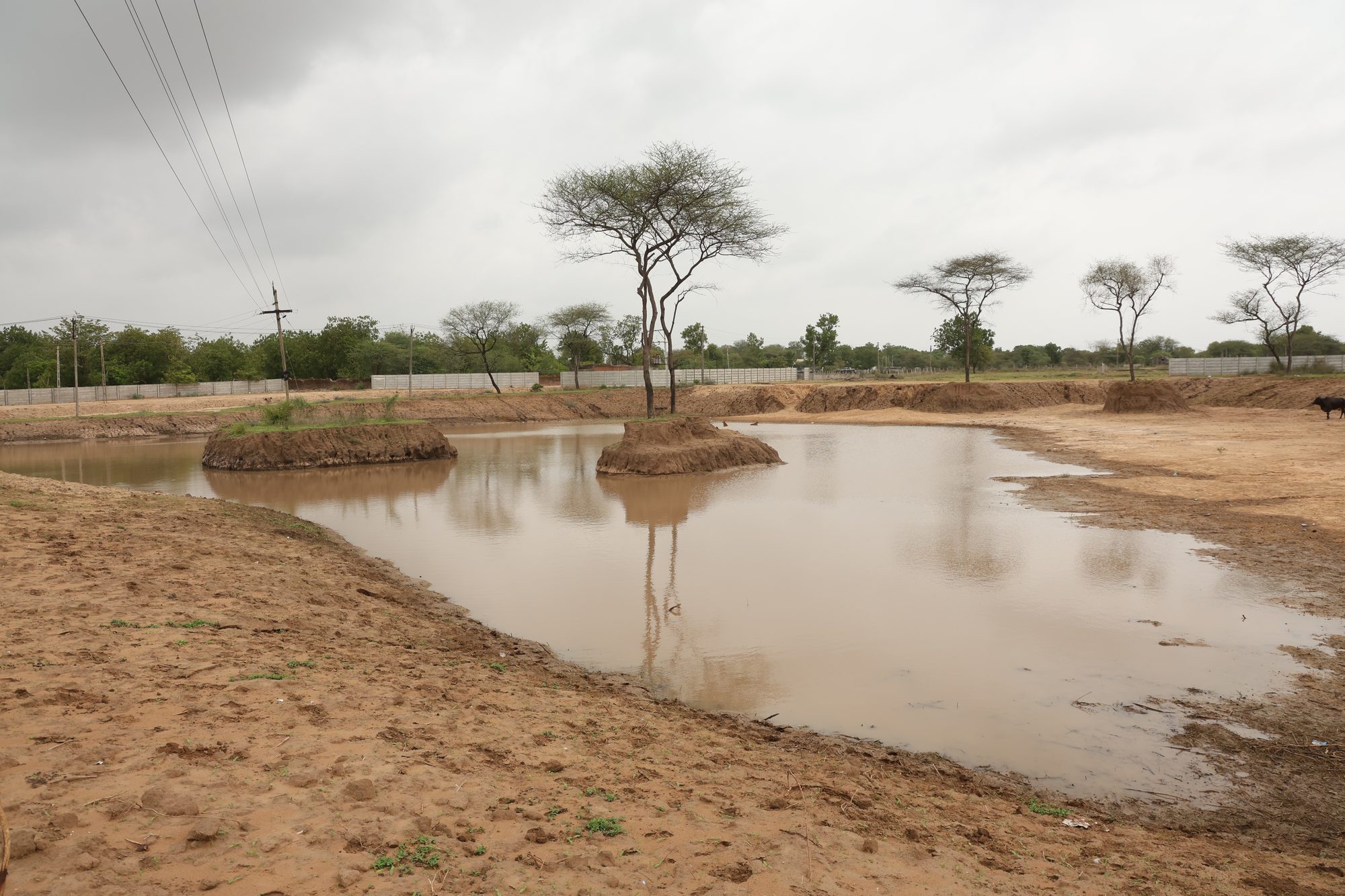
Anandam Lapkaman Oxygen Park
The largest of the Anandam oxygen parks — 20 hectares of restored landscape and water.
Developing one of the region’s largest integrated ecological restoration landscapes — with a large project footprint, integrated stormwater management, and diverse soil conditions — making it the anchor site of Anandam’s green infrastructure.
A project by Anandam Parivar
Mega Plantation
Rainwater Lake
Groundwater Recharge
Integrated Stormwater
Microclimate Cooling
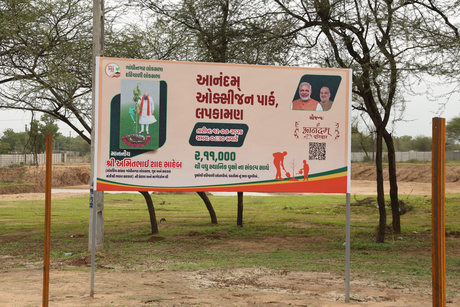
Project Overview
A landscape-scale project where water management leads the design.
Scale
At 200,000 m², Lapkaman accounts for roughly 84% of the land area across the three Anandam oxygen parks, and contributes 130 of their 146 million litres of combined rainwater storage.
Water First
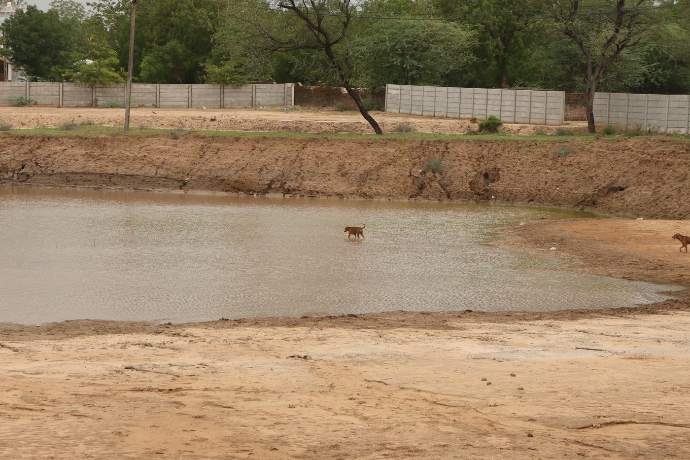
A 40,000 m² lake at an average depth of 3.25 m sits at the centre of the site, capturing runoff and feeding it slowly into the ground rather than letting it drain away.
Layered Soils
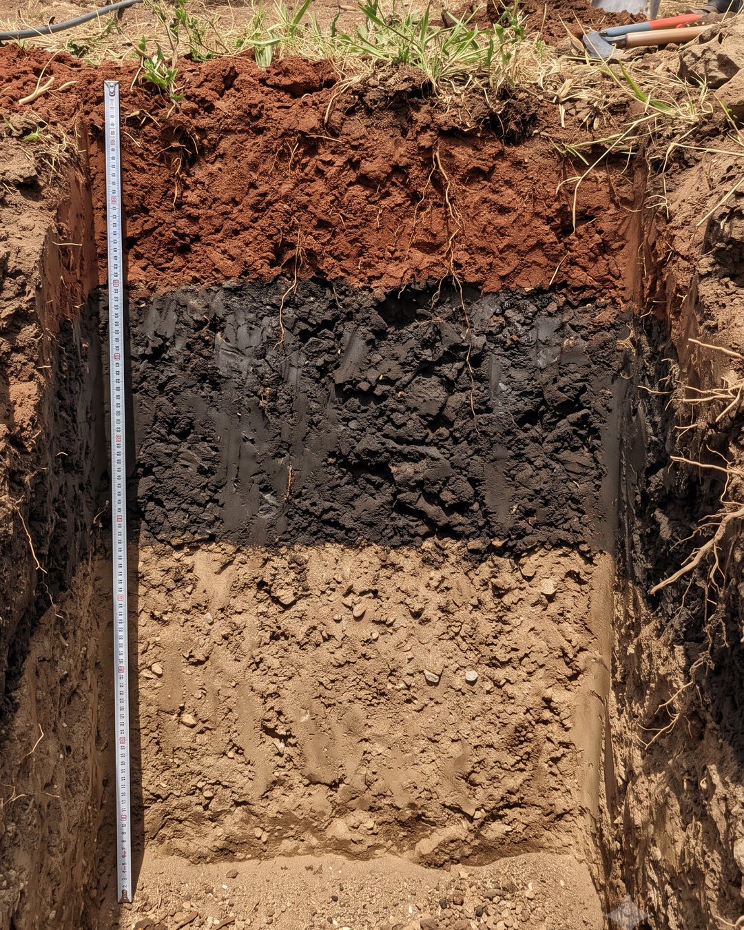
Three distinct soil layers — red, black, and sandy — each play a role in establishing trees, retaining moisture, and recharging the aquifer beneath.
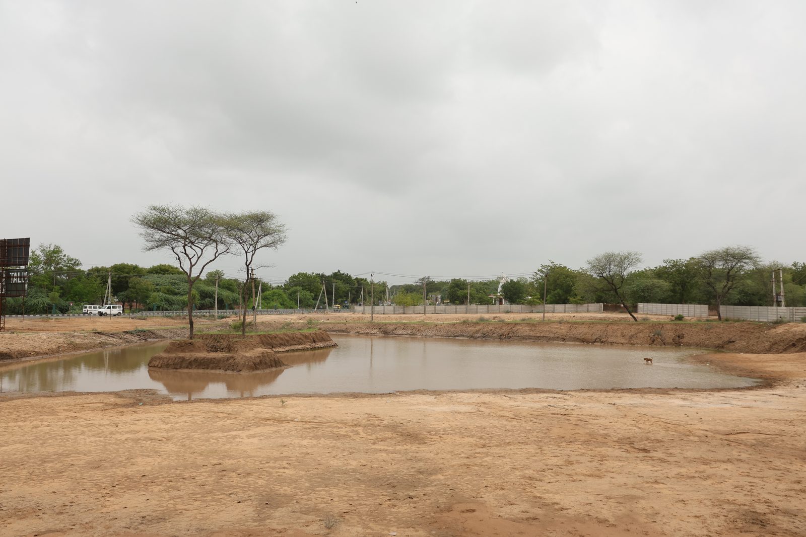
Scale At A Glance
Landscape-scale ecological work in simple numbers.
Water, Storage & Recharge
130 million litres of storage, engineered to reach the aquifer.
Water at Lapkaman takes a longer journey than at the other sites. It percolates through the red upper soil, is temporarily held in the black clay layer beneath, and eventually infiltrates the sandy layer below, where it recharges the groundwater table.
That middle clay layer slows infiltration compared with Jaspur’s more freely draining profile — which is why the recharge estimate here is a more conservative 25–35% of stored water. What the clay costs in speed, it repays in moisture retention for the plantation above.
Why The Depth Matters
Storage capacity follows directly from lake geometry. At 40,000 m² and an average depth of 3.25 m, the lake holds 130,000 m³ — 130 million litres — when full. Depth also means less surface area per litre exposed to evaporation, and a longer window for water to soak downward.
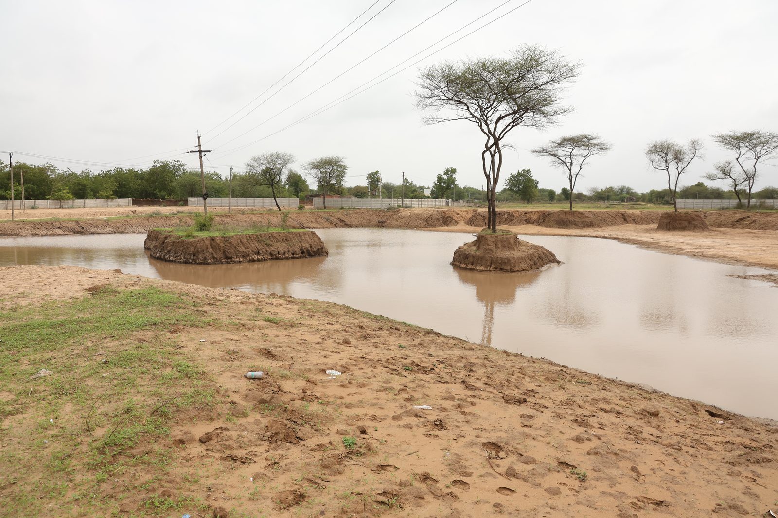
Soil Profile
Three layers, three jobs — establish, retain, recharge.
Upper Layer · Red Soil
Supports early establishment and root anchorage for young trees and shrubs.
Middle Layer · Black Soil
High moisture retention. Temporarily holds percolating water, sustaining plants between rains.
Lower Layer · Sandy Soil
Enhances drainage and recharge, carrying surplus water into the groundwater table.
Integrated Stormwater Management
Not just a plantation — a system that captures, slows, stores, and reuses water.
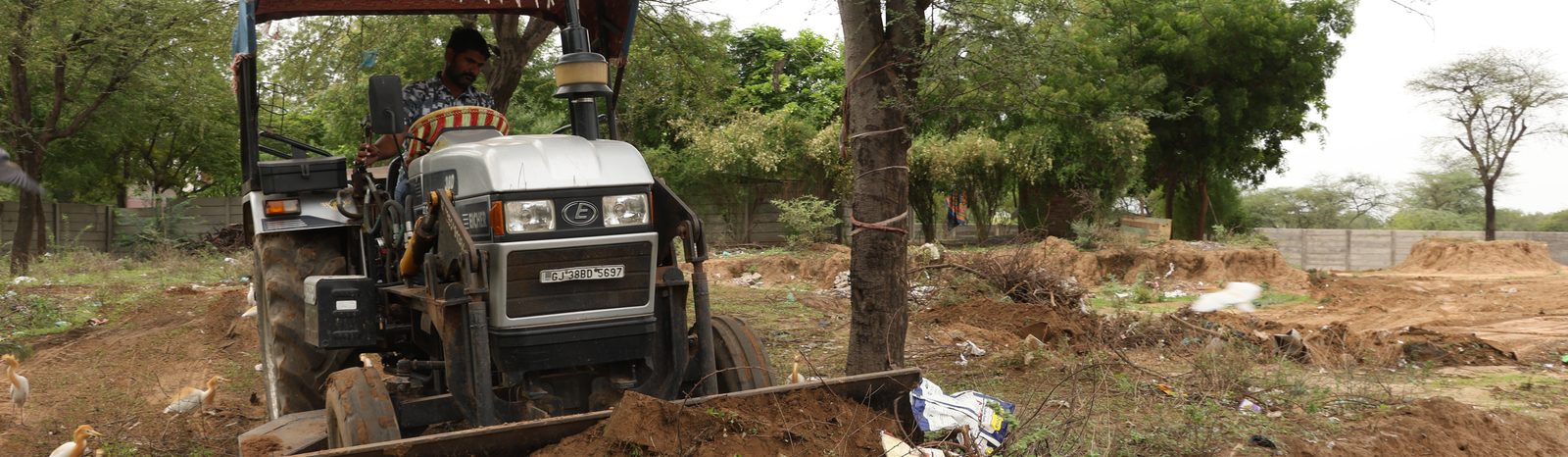
Unlike a conventional plantation, Lapkaman actively manages the water that falls on it. Lake excavation, gravity-assisted drainage, contour grading, and irrigation trenches work together so rainfall is captured and held on site instead of running off.
Because irrigation water travels through graded trenches rather than being carried or sprayed plant by plant, the system is markedly more efficient to operate. The figures below are expected operational benefits of the design, not measured results.
The Master Plan
More than a forest — a multifunctional ecological destination.
Lapkaman’s scale allows it to be planned as a public green destination, weaving native forest together with spaces for rest, learning, and community. The features below are part of the master plan, to be developed in phases.
Oxygen Grove
Educational Botanical Areas
Pollinator Gardens
Forest Trails
Meditation Zones
Forest Labyrinth
Rock Garden
Community Gathering Spaces
Boundary & Visitor Infrastructure
Different edges for different needs — protection where it matters, character where it’s seen.
Lapkaman fronts more than one road, so the boundary is treated differently along each. An RCC Patia wall runs along the GIDC road for durability and security, while a decorative channelling fence lines the main public road to give the park an attractive frontage.
Along the fence line, a hydrological solution captures stormwater from adjoining roads and directs it into the lake. Future phases add a landmark entrance gate, an underground water storage tank, an integrated irrigation network, and natural-material walkways through the landscape.
- RCC Patia wall along the GIDC road
- Decorative channelling fence along the main road
- Stormwater capture along the boundary feeding the lake
- Planned: landmark gate, underground tank, natural walkways
Microclimate Improvement
A contiguous green mass large enough to cool the air around it.
Lapkaman’s scale is what makes its cooling effect meaningful. A large, unbroken canopy does not just shade the ground beneath it — it moderates air temperature, lifts local humidity, and improves thermal comfort across the site and its surroundings.
The ranges below are drawn from established urban forestry research and describe the expected condition of the mature landscape.
Expected At Maturity
- 1–3°C reduction in daytime air temperature in and around the site
- 10–20°C reduction in ground surface temperature under shaded canopy
- Improved local thermal comfort and humidity
- Dust suppression and reduced heat stress for nearby communities
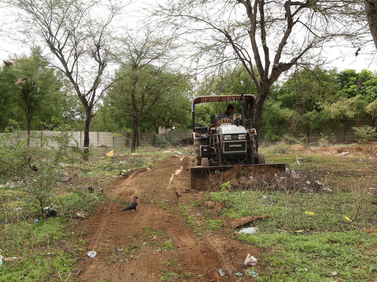
Site Photo Documentation
On-ground progress, published as the project advances.
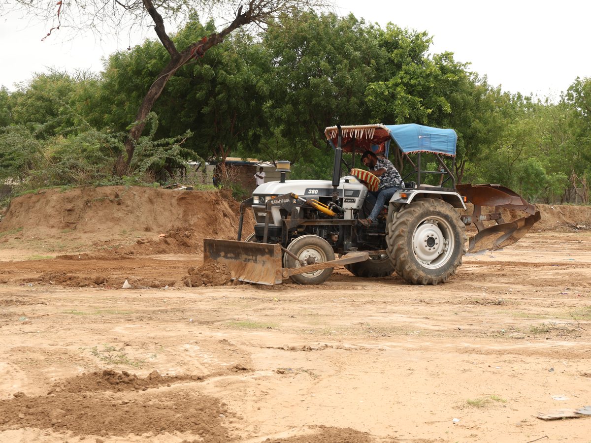
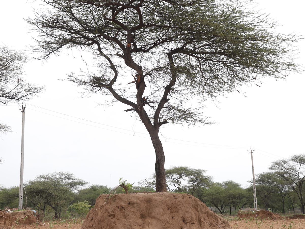
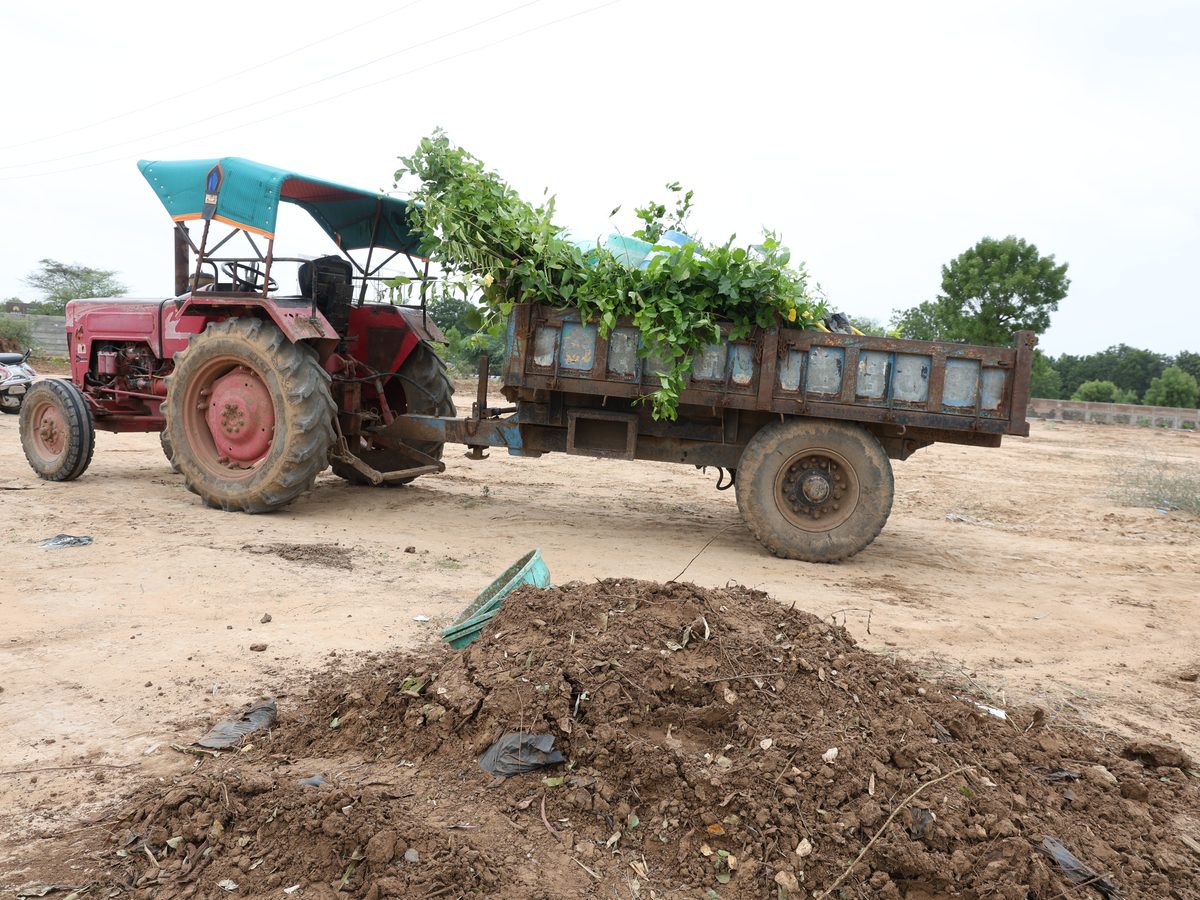
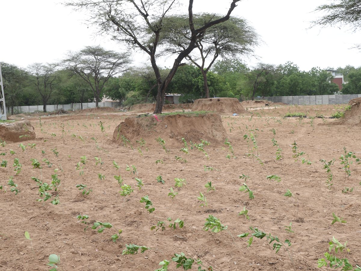
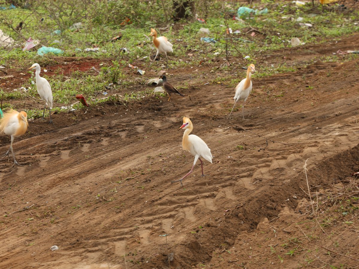
On-ground progress at Lapkaman — grading and site preparation, native saplings going into the ground, and the first signs of returning wildlife across the 20-hectare landscape.
Challenges & Solutions
A landscape-scale problem, met with landscape-scale engineering.
Challenges
- Very large footprint requiring phased implementation
- Stormwater runoff escaping the site
- Multiple road frontages with different boundary needs
- Large-scale irrigation planning across 20 hectares
- Integrating ecological and visitor infrastructure
Solutions
- Scientific site grading and phased development
- Hydrological channels intercepting road stormwater into the lake
- A large 40,000 m² rainwater-harvesting lake
- RCC wall along GIDC road; decorative frontage on the main road
- Underground irrigation and natural-material pathways planned
Key Successes
- One of the largest integrated ecological restoration projects under Drive Green Gandhinagar
- Designed as a multifunctional landscape uniting ecology, water, and community
- Stormwater capture built into the site to support long-term water resilience
- A phased master plan that can grow with the community for decades
Environmental Infrastructure
More than trees — an investment in natural infrastructure.
The indicators below are the combined totals across all three Anandam oxygen parks — Jaspur, Dantali, and Lapkaman. Together they function less like a plantation and more like a piece of public infrastructure: land restored, water banked, air cooled.
Lapkaman’s share
200,000 m²
of the restored landscape
160,000
of the trees & shrubs
130M litres
of the rainwater storage
Land & Plantation
Water
Climate & Air
Operational Efficiency
Survival Scenarios
Carbon and oxygen, modelled three ways.
Rather than assume a single outcome, the projections are modelled at three long-term plantation survival rates across all 215,000 trees. We publish 70% as our baseline.
60%Survival
- Mature trees
- 129,000
- CO2 / year
- ≈2,300 t
- Oxygen / year
- ≈12,900 t
70%Survival
- Mature trees
- 150,500
- CO2 / year
- ≈2,700 t
- Oxygen / year
- ≈15,050 t
80%Survival
- Mature trees
- 172,000
- CO2 / year
- ≈3,100 t
- Oxygen / year
- ≈17,200 t
A note on methodology
The environmental impact figures presented are engineering estimates based on project dimensions, lake geometry, Gandhinagar’s average annual rainfall, regional soil characteristics, published urban forestry and hydrological research, and projected long-term plantation survival. Actual outcomes will depend on rainfall variability, species survival, maintenance practices, and natural site conditions.
Growing A Greener Tomorrow
The anchor site of Anandam’s green infrastructure.
At 20 hectares, Lapkaman is designed to demonstrate what landscape-scale ecological restoration can achieve: a rainwater lake holding 130 million litres, 160,000 native trees and shrubs, and a soil profile engineered to return water to the aquifer year after year.
Site photography and detailed plantation documentation for Lapkaman will be published here as the project progresses.
Be Part Of The Green Movement
Want to support, visit, or collaborate on Anandam’s oxygen parks? We would love to connect and share the road ahead for Lapkaman and our other green projects.
Discuss The Project